
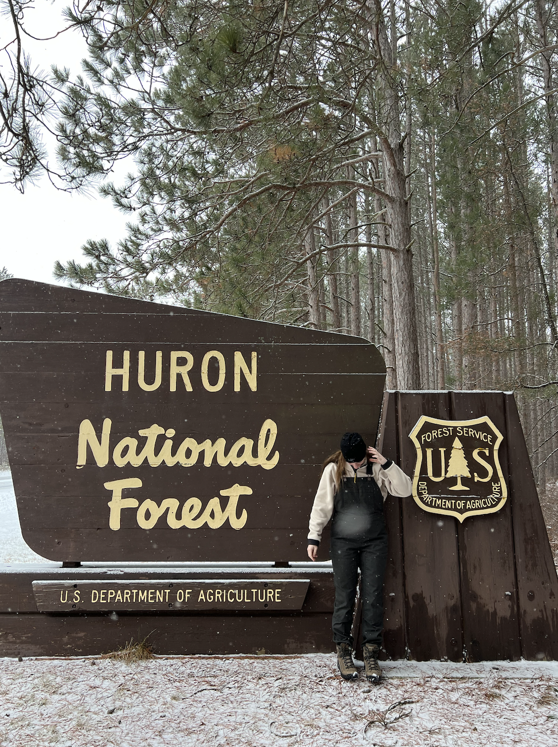
Though winter is hanging on in Michigan for the next couple months, there’s still plenty of hikes you can do in this cold weather! One of my favorite spots to hike in is the Huron National Forest, located on the North East side of the Lower Peninsula of Michigan this National Forest it covers over 400,000 acres of land. The infamous Au Sable river runs through the Huron National Forest, leading to endless fun and activities to have in this area.
No matter what level of hiker you are, anyone can find trails in the Huron National Forest! Read on for my favorite hikes in the region.
Each hike has a link to the AllTrails map of the hike, additional trail maps and links will be listed below if hike if applicable.
Hikes in the Huron National Forest: Under 3 miles
Corsair XC Skiing and Hiking Trails
- 2-7 miles of loop trails
- Located West of Oscoda, North of Tawas
- Cross-country skiing
- Hiking
Wolf Creek Trail System
- 1-3 miles of loop trails
- Located in Mio
- Hiking
- Click here for a USDA National Forests Trail Map
Loud Creek XC Skiing
- 1-5 miles of loop trails
- Located in Mio
- Cross-country skiing
- Hiking
Hinchman Trail
- 2 mile loop trail
- Located in Mio
- Hiking
Island Lake Forest Trail
- 1.5 mile loop trail
- Located South of Mio, North of Rose City
- Hiking
Luzerne Boardwalk
- 2 mile out-and-back trail
- Located in Luzerne
- Hiking

Hikes in the Huron National Forest: 3-6 miles
Eagle Run Trail
- 4.2 mile loop trail
- Located in Oscoda
- Hiking
- Click here for a map of Oscoda/Au Sable river trial map
Silver Valley
- 3-7 miles of loop trails
- Located South West of Oscoda, North West of Tawas
- Cross-country skiing
- Hiking
Wrights Lake
- 3-8 miles of loop trails
- Located South West of Oscoda, North West of Tawas
- Cross-country skiing
- Hiking
Hikes in the Huron National Forest: Over 7 miles
High Banks Trail
- 7 mile point-to-point trail
- Located West of Oscoda
- Hiking
- Click here for a map of Oscoda/Au Sable river trial map
Shore-to-Shore Trail
- You choose your distance, this trail runs from Lake Michigan to Lake Huron
- Runs throughout the Huron National Forest
- Hiking
- Click here for a map of Oscoda/Au Sable river trial map
