
Everything you need to know about backpacking the Manistee River Trail (MRT). From the basics, to pre-planned routes, this is your complete guide!
This is a great trail for first-time backpackers or super skilled! Anyone at any skill level can enjoy the beauty that can be found on the Manistee River Trail.
The Basics:
The Manistee River Trail is a 10.5 mile long trail stretching from Coates Hwy at Red Bridge River Access to O’Rourke Rd at Seaton Creek Campground. There is about 1,000ft of elevation change. This trail can be made into a loop, commonly named the Manistee River Loop, by connecting over to the North Country Trail (NCT). The loop is a total of 19 miles with about 2,000ft of elevation change. There are numerous designated backcountry camping sites along the MRT side. However, backcountry dispersed camping is allowed throughout the MRT and most of the NCT.

Where to park while backpacking the Manistee River Trail:
Numerous trail heads can be found along and close to the MRT. Depending on whether you are hiking in a loop, point-to-point, or out-and-back. Some trailheads are in a fee area and require $5 per day (cash only) if parking a vehicle there.
North End Trailheads: Marilla trailhead (NCT side), Seaton Creek Camp* (MRT side)
South End trailheads: Upper River Rd* (NCT side, very close to MRT), Red Bridge River Access*
East End trailheads (MRT side): Slagle Creek Rd, Cottage Creek Rd
West End trailheads (NCT side): West Sweet Ravine Rd, Sheep Ranch Rd
*Most popular trailheads
To note: Marilla trailhead and Seaton Creek campground are about a 1 mile from the main trail, be sure to add the extra mileage if using these trail heads.

If you’re looking at just backpacking the Manistee River Trail:
If it’s possible to have two cars with you to allow point-to-point hiking, that is easiest! Parking at Red Bridge River Access and either Seaton Creek Campground (making the trail about 10 miles) or Marilla trailhead (making the trail about 12 miles). Otherwise expect to park at a trailhead and hike out-and-back.
If you’re looking at backpacking the Manistee River and North Country Trail Loop:
Parking at any trailhead is feasible because you are traveling in a loop! My recommendation is to hike the loop trail in a counter-clockwise direction. So you will travel northbound on the MRT and southbound on the NCT. There is the largest grade hill in the Lower Peninsula of Michigan on the North Country trail side, hiking this direction allows you to travel downhill instead of uphill!
What you should expect while backpacking the MRT
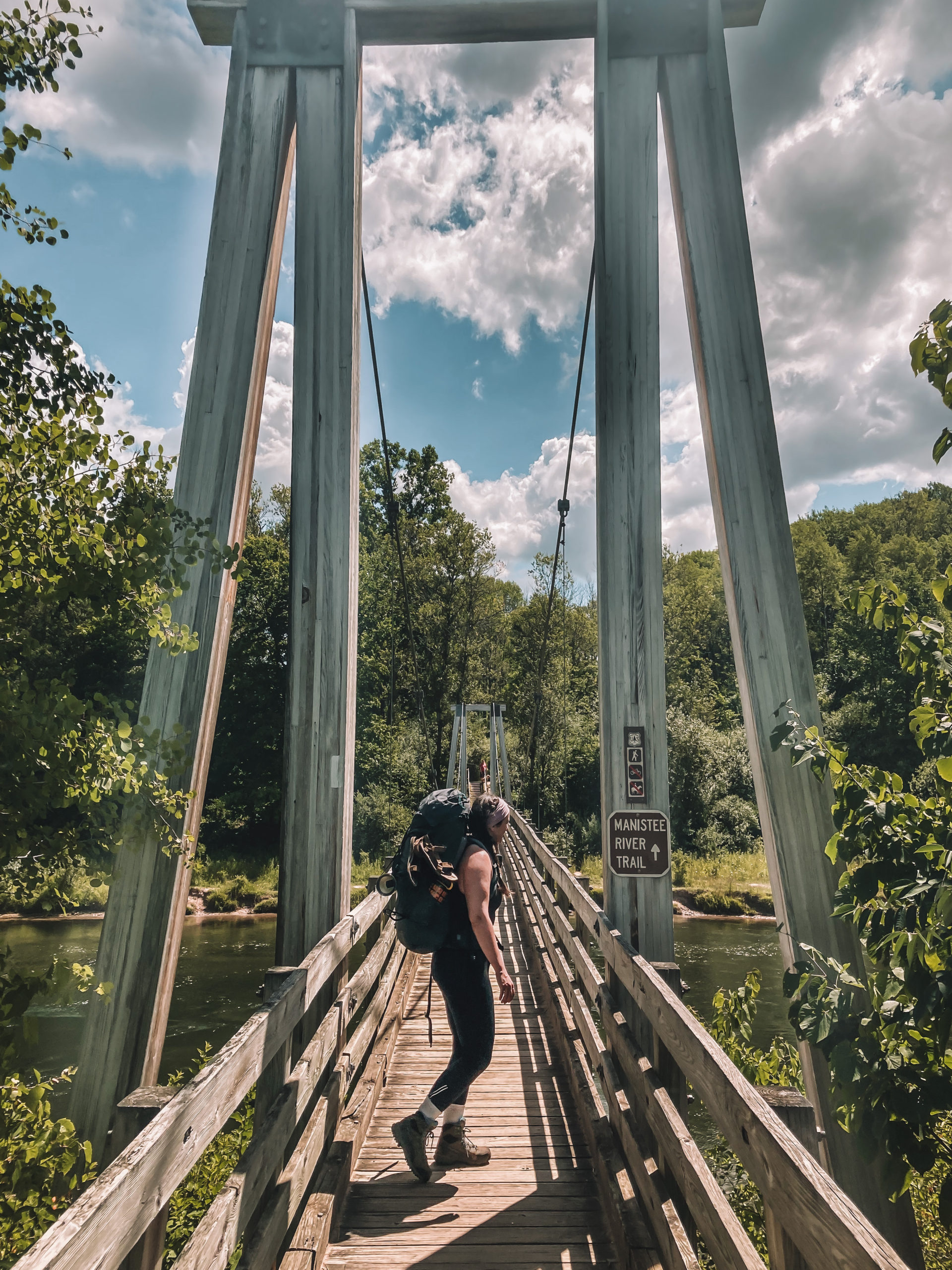
The MRT is a very popular trail! Trailheads often have many cars, designated backcountry sites are often occupied, and you will run into people on the trail as well as on the river. That being said, it is still an incredibly beautiful, tranquil, and adventure filled nature trek. This is the perfect weekender trip, a great spot for beginners, and can be varying levels of difficulty depending on how long and how quickly you decide to hike.
What to bring while backpacking the MRT:
Start with your basics:
Tent
Sleeping bag + pad
Backpacking boots (or other sturdy hiking boots)
Food wise:
If you’re planning to cook meals I suggest a backpacking stove, designated backcountry sites do have fire ring pits, but wood is not always a guarantee. Make sure to bring a bear canister or rope to hang food/garbage at night. A water filter is a must, there are numerous creeks along the MRT side as well as a few access points to the Manistee River. On the North Country Trail side the only access to water is at Eddington Creek on the North End of the NCT portion.
Extras:
In the summer months the trail is very well shaded and I didn’t feel the need to wear sunscreen much. Bug spray can be helpful, especially in late spring/early summer when the bugs are at their peak. A shovel is needed when using the bathroom. Check out this guide on using the bathroom (especially #2) outdoors. One of my favorite pairs of hiking pants, that I highly recommend, are the FreeFlex Dash Pants by KÜHL.

Check out my guides below for a pre-planned adventure!
Manistee River and North Country Trail Loop – Beginners
3 days, 2 nights | Average 6-7 miles a day | Total 21 miles
Day 1: Begin at the Seaton Creek campground (purple star) and hike west, cross the Suspension Bridge and continue to the North Country trail (red line). Make sure to refill on water at Eddington Creek (last stop for water until you reach the MRT side (about 9 miles). Camp shortly after you pass Sheep Ranch Road (green star)
Day 2: Continue south on the North Country trail until you reach the Upper River trailhead (yellow line) and continue east toward the Manistee River Trail. Camp shortly after you pass Arquilla Creek (brown star)
Day 3: Your last day! Continue north along the MRT (blue line) and you’ll pass the suspension bridge on the left, continue northeast toward Seaton Creek Campground (purple star).

Manistee River and North Country Trail Loop – Moderate/Advanced
2 days, 1 night | Average 11-12 miles a day | Total 22 miles
Day 1: Begin at the Marilla trailhead (purple star) and hike south on the North Country Trail (red line) all the way to Red Bridge River Access where you’ll hike east toward the Manistee River Trail. Camp near Arquilla Creek (blue star). This is the perfect spot to refill water!
Day 2: Head north on the MRT (yellow line) and cross the Suspension Bridge. Continue on the North Country Trail until you hit the Marilla trailhead junction and head north toward Marilla trailhead (purple star).

Manistee River Trail Out-and-Back – Beginner/Moderate
2 days, 1 night | Average 5-7 miles a day | Total 12 miles
Park one car at the Marilla trailhead (purple star #1), then drive down to Red Bridge River Access (purple star #6) and park your second car there. You will begin at Red River Access and hike up to Marilla. Don’t forget car keys!
Day 1: Begin at Red Bridge River Access and hike north on the MRT (red line). After about 3-4 hours or 5(ish) miles, set up camp.
Day 2: Head north on the MRT and cross the Suspension Bridge (yellow line). Continue on the North Country Trail until you hit the Marilla trailhead junction and head north toward Marilla trailhead.

Comment below or on Instagram if you use these to help your backpacking adventure on the Manistee River Trail! Or if you have a better trek, let me know!
Happy Adventuring!